Alaska PaleoGlacier Atlas
Pleistocene glacier extents in Alaska
|
Alaska PaleoGlacier Atlas Pleistocene glacier extents in Alaska |
About the Alaska PaleoGlacier Atlas Our goal is a comprehensive and consistent overview of former glacier limits across Alaska. Our hope is to facilitate outreach, education, and interdisciplinary research in the fields of geology, geography, biology, archeology, and natural history. In the early 2000s, decades after the pioneering Alaska-wide compilations of glacial geology (Karlstrom, 1961; Coulter et al., 1965), William Manley (INSTAAR) and Darrell Kaufman (Northern Arizona University) led a collaboration with contributions from T.K. Bundtzen, J. Harvey, R.D. Reger, and A. Werner to create the Alaska PaleoGlacier Atlas: a geospatial summary of Pleistocene glaciation across Alaska (Kaufman and Manley, 2004). The first version of the atlas combined glacial-geologic information from 26 publications and 42 source maps to reconstruct the limits of late Wisconsin and the all-time maximum extents of glaciers. The atlas was later updated to include early Wisconsin ice extent, a compilation of glacial chronology across the state, and minor modifications to the late Wisconsin glacier limits (Kaufman et al., 2011). This website is based on v2 of the Alaska PaleoGlacier Atlas, with additional updated information. The main layers depict ice extent during the (1) late Wisconsin glaciation (i.e. Last Glacial Maximum, about 20,000 years ago), (2) early Wisconsin glaciation (Marine Isotope Stage 4 ca. 60,000 years ago) and (3) the maximum extent, thought to be reached sometime during the last ca. 3 million years. The atlas is targeted for a scale of 1 to 1,000,000 -- suitable for visualization and regional analyses. |
References Cited Karlstrom, T. N. (1961). The glacial history of Alaska: its bearing on paleoclimatic theory. Annals of the New York Academy of Sciences, 95(1), 290-340. Coulter, H., Hopkins, D., Karlstrom, T., Péwé, T., Wahrhaftig, C., & Williams, J. R. (1965). Map showing extent of glaciations in Alaska. No. 415 Kaufman, D. S., & Manley, W. F. (2004). Pleistocene maximum and Late Wisconsinan glacier extents across Alaska, USA. Developments in Quaternary Sciences, 2, 9-27. Kaufman, D. S., Young, N. E., Briner, J. P., & Manley, W. F. (2011). Alaska Paleo-Glacier Atlas (Version 2). In J. Ehlers, P. L. Gibbard, & P. Hughes (Eds.), Quaternary Glaciations Extent and Chronology, Part IV: A Closer Look. Developments in Quaternary Science 15, Amsterdam, Elsevier, 427–445. |
How to cite this work Geospatial data from both versions of the Alaska PaleoGlacier Atlas (version 1 & 2) are found on this webpage and should be cited when using the data made available here. In addition, each publication has a comprehensive list of citations that should be reviewed for further reading. Each can be cited as follows: Kaufman, D. S., & Manley, W. F. (2004). Pleistocene maximum and Late Wisconsinan glacier extents across Alaska, USA. Developments in Quaternary Sciences, 2, 9-27. Kaufman, D. S., Young, N. E., Briner, J. P., & Manley, W. F. (2011). Alaska Paleo-Glacier Atlas (Version 2). In J. Ehlers, P. L. Gibbard, & P. Hughes (Eds.), Quaternary Glaciations Extent and Chronology, Part IV: A Closer Look. Developments in Quaternary Science 15, Amsterdam, Elsevier, 427–445. Please find full copies of version 1 here and version 2 here. |
Known updates for Version 3 1) Updated mapping for the Lake Illiamna area from Hamilton and Klieforth (2010) here 2) A comprehensive report on the glacial history in the Alaska Highway corridor between Delta Junction and the Canada border, including discussion of evidence for massive late-Quaternary outburst flooding down the Tanana River from Reger et al. (in prep) 3) Updated surficial geologic mapping of the Tyonek area in the Cook Inlet from Reger et al. (2015) here Future contributions are encouraged. Glacial geologists with information on former glacier limits in Alaska should contact Jason Briner (jbriner@buffalo.edu). In addition, as time and resources allow, the atlas will be updated on the website. Feedback of any kind is welcome. |
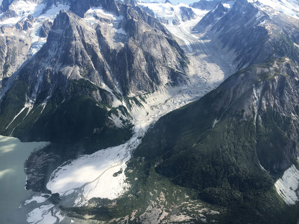
contributors: Jason Briner jbriner@buffalo.edu and Joseph Tulenko jptulenk@buffalo.edu UB Geology Department website and Glacier History Lab website Webpage updated from the orginal Alaska Paleoglacier Atlas designed by William Manley william.manley@colorado.edu and Darrell Kaufman darrell.kaufman@nau.edu top photo credit: Jason Briner, Little Ice Age moraine encroaching into Chakachamna Lake |